Comprehensive Guide to the 7 Most Spectacular Waterfalls in Iceland
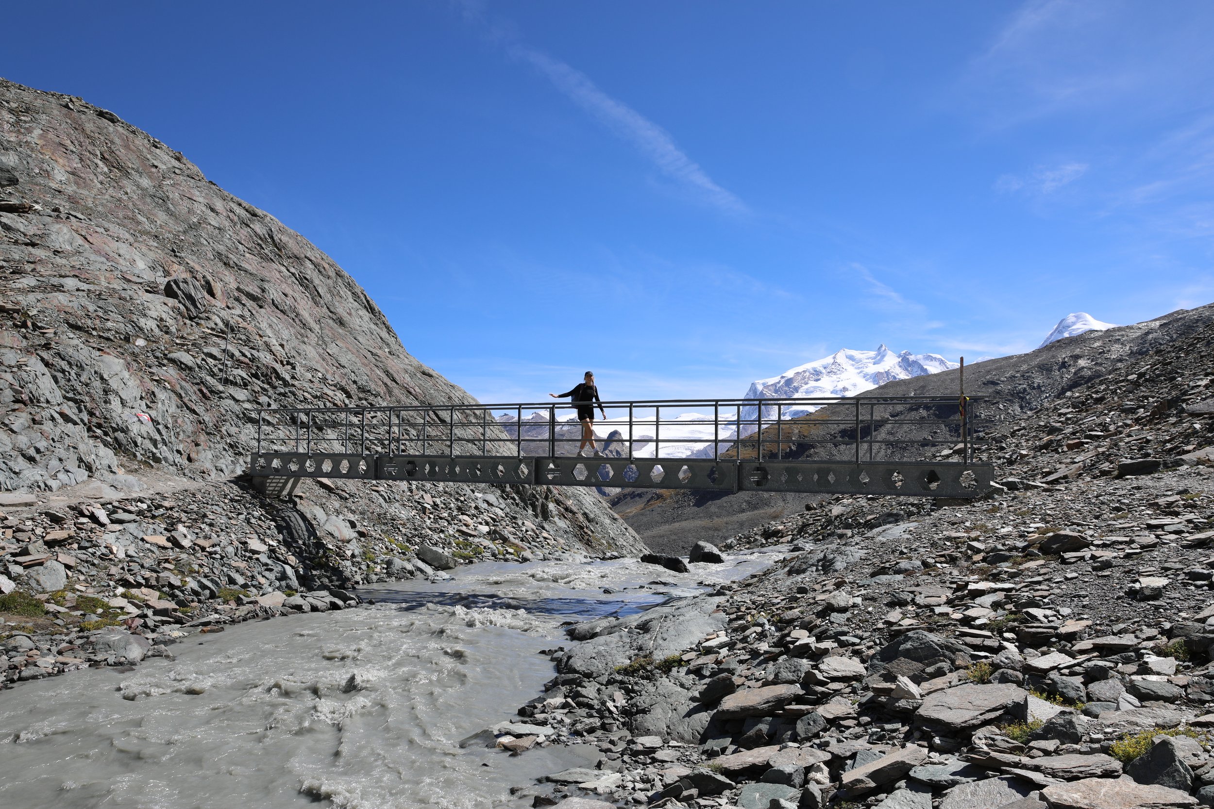
The Matterhorn Glacier Trail is a renowned hiking path in the Swiss Alps that offers breathtaking views of the iconic Matterhorn, as well as the surrounding glaciers, alpine meadows, and valleys. The trail provides an unforgettable experience with its stunning landscapes and opportunities to witness the beauty of the Swiss Alps up close.
Viewpoint - End of Hike Next to Schwarzsee
Hike Overview and Map
Trailhead: Follow signs from Trockener Steg cable car station towards “Matterhorn Glacier Trail” | Google Maps
Total Hiking Distance: 6.3 km
Total Hiking Duration: 2.5 hour hike | one way
Difficulty: Moderate
Altitude: 2,900 meters above sea level
Highlights: Views of the Matterhorn, Theodul Glacier, and Breithorn peaks, along with vistas of the surrounding glacial landscapes and alpine meadows.
Note: the hike can be extended from Schwarzsee all the way back down to Zermatt totalling 16km and 4 hours in duration.
Getting There
From Zermatt:
Cable Car - Zermatt (Matterhorn Talstat) to Furi (GB)
7-minute duration one way
Runs every minute
Earliest around 8:30 AM and last descent 17:00 PM
Cable car - Furi to Schwarzsee (GB)
9- minute duration one way
Runs every minute
Earliest around 8:30 AM and last descent 17:00 PM
Schwarzsee to Trockener Steg (GB)
11-minute duration
Runs every minute
Earliest around 8:30 AM and last descent 17:00 PM
Total Journey
A ticket can be purchased for the whole journey on the the website or in person at the cable car station.
Purchase a one-way ticket for 52 CHF per person or a return ticket for 80 CHF.
My recommendation would be to purchase a one-way ticket and then either hike the entire journey back down from Trockener Steg via the Glacier Trail to Zermatt or walk the Glacier Trail to Schwarzsee before getting a cable car down.
Viewpoint - Glacial Lake
General Tips
Start the hike as early as possible to avoid the crowds and to improve the likelihood of favourable weather conditions.
The views are weather dependent so be flexible with your timing. Try to arrange the hike for a day where the weather looks the most promising. The weather can change at short notice so ensure that you pack clothing for all conditions (rain jacket).
A ticket for the cable car is extremely expensive but 100% worth the cost. If you would like to save money and up for a challenge you could look at hiking all the way back down to Zermatt.
The Swiss Pass (50% off) is applicable for the cable car.
The glacial lakes make for incredible photos with the reflection of the Matterhorn in the background so make sure to bring your camera.
The start of the hike is extremely scenic, with the views gradually tapering off as you leave the lake section, so make sure to take your time through the first part of the journey to take it all in. Going at a slower pace will also help to avoid altitude sickness where the start of the trail commences at approximately 3000m above sea level.
There are no facilities or places to purchase food or drinks between Trockener Steg and Schwarzsee, so pack some snacks and water for the journey. There is a mountain restaurant at Schwarzsee with a beautiful view back of the Matterhorn so its a nice place to stop to eat at the end of the hike.
Viewpoint - Dettifoss
Viewpoint - Glacier
Viewpoint - Last Descent Into Schwarzsee
Arrival Schwarzsee
Named after a small mountain lake with the same name, the Mountain hut offers incredible views of the Matterhorn.
There are several trails that start from Schwarzsee including routes to Hörnli Hut and the Matterhorn Base Camp.
It's a gateway to numerous downhill mountain biking trails many leading all the way down to Zermatt.
The Mountain Hut and restaurant offers panoramic views.
Viewpoint - Matterhorn from Schwarzsee
Where to Next
Staying in Zermatt: either catch a cable car directly from Schwarzsee back down or continue to hike down to Zermatt. The terrain changes significantly as you decrease in altitude back down to Zermatt.


Experience the Matterhorn Glacier Trail, a spectacular hike in the Valais region of Switzerland, near the charming town of Zermatt. Nestled in the Pennine Alps, this trail offers breathtaking views of the Matterhorn, alpine meadows, glaciers, and surrounding valleys. Discover the heart of Switzerland’s mountain heritage with this unforgettable adventure!